City of Johnstown Director of Planning, Community and Economic Development Attends 2024 UC ESRI GIS Conference in San Diego

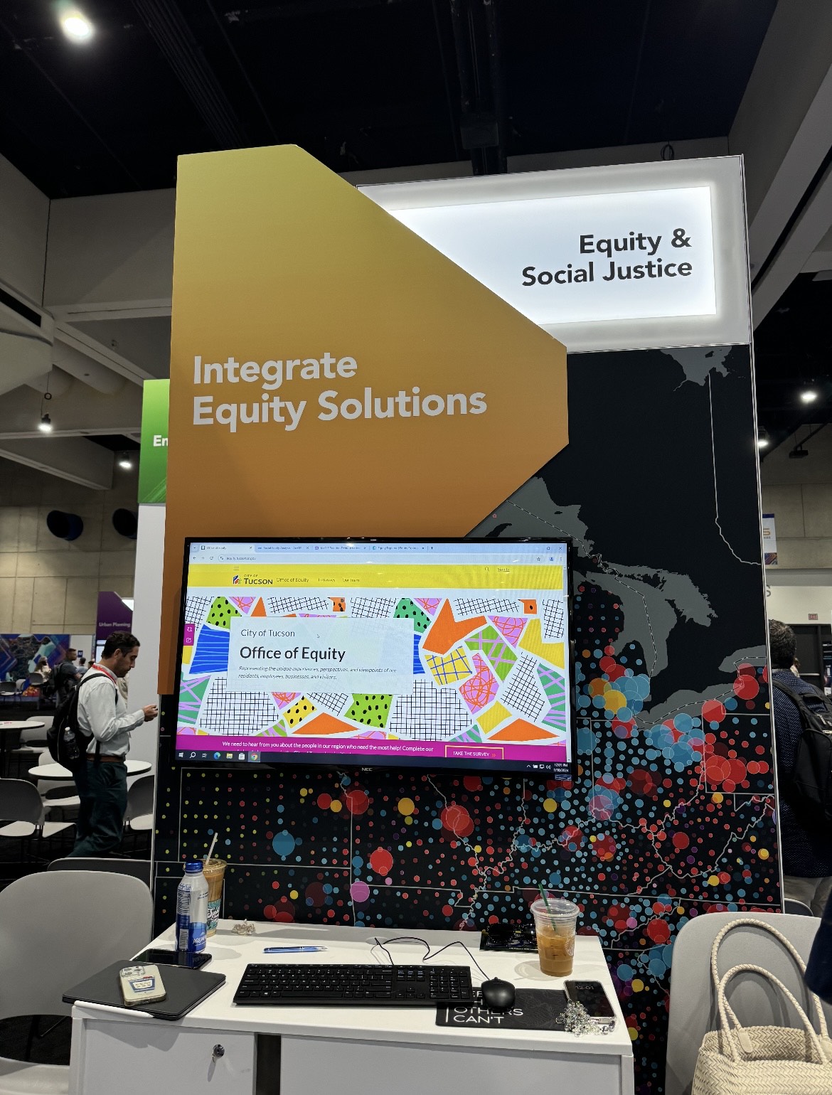
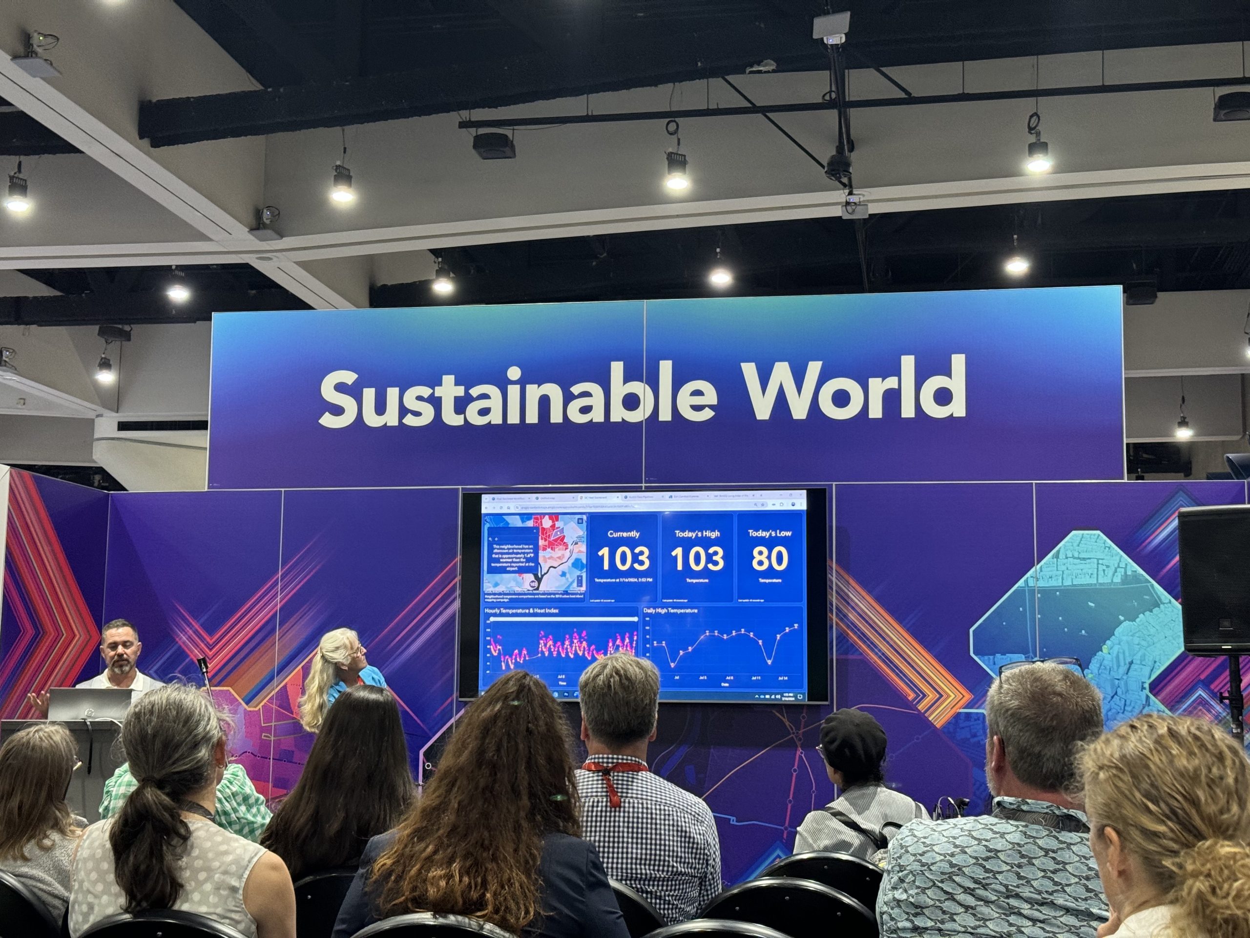
San Diego, CA – July 17-19, 2024 – The City of Johnstown’s Director of Planning, Community, and Economic Development, Nina Ndichu, attended the 2024 ESRI User Conference (UC) in San Diego, California, from July 17-19, 2024. The ESRI UC is one of the largest global gatherings for professionals in Geographic Information Systems (GIS), and this year’s conference centered around the theme “Uniting Our World.” This powerful theme underscores the growing importance of GIS as a tool for bringing diverse sectors and industries together to collaborate on complex challenges and work towards a shared, sustainable future.
The Role of GIS in Uniting Our World
The conference opened with Jack Dangermond, founder and CEO of ESRI, who spoke passionately about the transformative power of maps. He emphasized the idea that “Maps reveal patterns, relationships, and systems, helping us think differently.” This philosophy is central to the activities at the UC, where GIS professionals from various fields come together to explore how geographic data can be visualized, analyzed, and used to inform decisions. For city planners like Nina, this insight is invaluable as it highlights the potential for GIS to not only analyze data but to provide a visual language that makes complex information accessible to all stakeholders, from community members to decision-makers.
One of the key takeaways from the conference was the idea that maps can help professionals think differently by revealing insights that might not be obvious at first glance. As cities and communities grow, understanding patterns and relationships within spatial data is essential to making informed, equitable decisions. For Johnstown, this means using GIS to visualize data related to infrastructure, housing, transportation, and environmental sustainability to ensure development serves the needs of all residents.
Collaboration Across Sectors for a Better Future
A significant theme at the conference was the value of collaboration across sectors. Jack Dangermond highlighted how GIS allows professionals from different industries to come together, share data, and work toward common goals, even when those goals may differ. For instance, city planners and economic developers must consider environmental sustainability and resilience when designing new infrastructure. At the same time, public health experts and urban designers must account for accessibility and quality of life.
Nina’s participation in the conference gave her the opportunity to learn how these different sectors are using GIS to address complex issues, such as climate change, urban sprawl, and social equity. One of the most valuable aspects of the conference was seeing how professionals across various disciplines – from government agencies to private sector companies – are all utilizing the same GIS technologies but tailoring them to meet their specific needs. This cross-industry collaboration is essential for achieving holistic solutions that balance economic growth, environmental stewardship, and community well-being.
For Johnstown, the lessons learned at the conference will directly influence the city’s approach to urban development, ensuring that projects are planned with an eye toward sustainability, equity, and long-term resilience. GIS technology will be used to integrate data from diverse sources, enabling more coordinated efforts among city departments, residents, and external partners.
Building a Data-Driven Future for Johnstown
Throughout the conference, Nina participated in hands-on workshops, technical sessions, and networking opportunities designed to deepen her understanding of GIS technology and its potential applications for urban planning. One key session focused on the role of GIS in disaster management and climate resilience, an area that is particularly relevant for cities like Johnstown, which are focused on developing long-term sustainability plans.
Additionally, sessions on public engagement highlighted how GIS tools can be used to involve residents in the planning process. By providing interactive maps and data visualizations, the city can make complex planning decisions more accessible and transparent to the public, allowing residents to better understand how proposed changes will impact their community.
Real-Time Updates for Improved Decision Making
Perhaps one of the most exciting outcomes of Nina’s participation in the GIS conference is the approval the City of Johnstown received for a GIS license, which will enable the city to make real-time updates to its mapping systems. This new capability will significantly enhance the city’s ability to respond swiftly to changes, track developments, and update infrastructure data more effectively. Whether it’s adjusting zoning maps, tracking environmental data, or updating transportation infrastructure, having access to real-time GIS data will allow the city to make more informed, timely decisions that benefit all residents.
As the city continues to explore the integration of GIS into its planning and development processes, this real-time capability will be instrumental in shaping Johnstown’s approach to data-driven decision-making. Nina’s experience in San Diego has already sparked new ideas for how GIS can be used to improve everything from transportation planning and environmental conservation to economic development and public health.
Shaping a More Resilient and Inclusive Johnstown
The knowledge and strategies Nina gained from the 2024 ESRI UC will help ensure that Johnstown’s development projects are not only efficient but also inclusive, sustainable, and resilient. The ability to visualize geographic data and identify patterns that inform decision-making is essential for addressing the multifaceted challenges facing the city as it grows and evolves.
The ESRI UC conference highlighted the importance of using technology to bridge gaps between diverse industries and communities. In Johnstown, this approach will foster greater collaboration and more informed decision-making as the city works to create a brighter, more sustainable future for all its residents.
The City of Johnstown is proud of Nina’s participation in the ESRI UC and the valuable insights she brings back to the community. With GIS as a powerful tool for visualization, analysis, and collaboration, Johnstown is well-positioned to continue its growth as a data-driven, resilient, and inclusive city.
For more information on how ESRI is transforming the way cities, organizations, and communities use geographic data to create a more sustainable future, visit ESRI’s website: https://www.esri.com/en-us/industries/earth-sciences/disciplines/environmental-monitoring https://www.esri.com/en-us/racial-equity/overview / https://www.esri.com/en-us/racial-equity/resources

